Wondering how GPS navigators work without internet? I did a real test in dead zones to explain satellite signals and map storage. See what I found before you buy.
Quick Overview: What You’ll Learn
This guide is for anyone who’s ever wondered: “Will my GPS still work if I lose signal?” or “Do I need data for navigation?”
Who this guide is for:
- Drivers traveling through rural areas with poor cell coverage
- International travelers wanting to avoid roaming charges
- Android and iPhone users confused about offline GPS
- Anyone considering a dedicated GPS navigator like the Garmin Drive™ 53
Who this guide is NOT for:
- People who only drive in urban areas with perfect connectivity
- Those who never travel outside their home network coverage
→ Add the Garmin Drive 53 to Your Cart Now!
→ Claim This Deal: Add the Renewed DriveSmart 66 to Cart
The problem it solves: Eliminates the fear of getting lost when you have no internet, data, or WiFi—and shows you exactly how to prepare before you travel.
Why Understanding Offline GPS Matters
Getting lost without cell service isn’t just frustrating—it can be dangerous.
Consider these real-world scenarios:
- You’re driving through Death Valley with spotty cell coverage, and your phone shows “No Service”
- You’re traveling internationally and don’t want to pay $15/day for roaming data
- Your monthly data cap is reached, but you still need directions home
- A road trip takes you through rural Montana, where cell towers are 50 miles apart
According to the Federal Communications Commission, approximately 14% of Americans still lack reliable mobile broadband coverage in their areas—mostly in rural regions.¹
The good news? GPS technology was designed to work without the internet. Understanding how it works—and its limitations—can save you from being stranded.
How GPS Actually Works: The Technical Foundation
The Satellite System Explained
GPS (Global Positioning System) was developed by the U.S. Department of Defense and consists of 31 operational satellites orbiting approximately 12,550 miles above Earth.²
Here’s the key insight that most guides miss:
GPS satellites only TRANSMIT signals—they never receive data from your device.
Your GPS receiver (phone or dedicated device) passively listens to these satellites. It calculates your position using trilateration—measuring the time it takes for signals from multiple satellites to reach you.
The formula is simple physics:
Distance=Speed of Light×Time Delay
Your device needs signals from at least 4 satellites to determine:
- Your latitude
- Your longitude
- Your altitude
- The precise time
This entire process requires zero internet connection.
What the Internet IS Needed For
Here’s where confusion arises. The GPS chip in your phone determines where you are without internet—but it doesn’t know what’s around you without downloaded data.
| Function | Needs Internet? | Needs Data? |
| Determining your coordinates | No | No |
| Displaying map images | Yes (unless downloaded) | Yes |
| Turn-by-turn directions | Yes (unless downloaded) | Yes |
| Live traffic updates | Yes | Yes |
| Searching for businesses | Yes (unless downloaded) | Yes |
| Real-time rerouting | Sometimes | Sometimes |
Step-by-Step: How GPS Navigators Work Without Internet
Step 1: Understand the Two Components
A complete navigation system has two parts:
- GPS Receiver – Determines your coordinates (works offline)
- Mapping Software – Displays your location on a map (needs data unless preloaded)
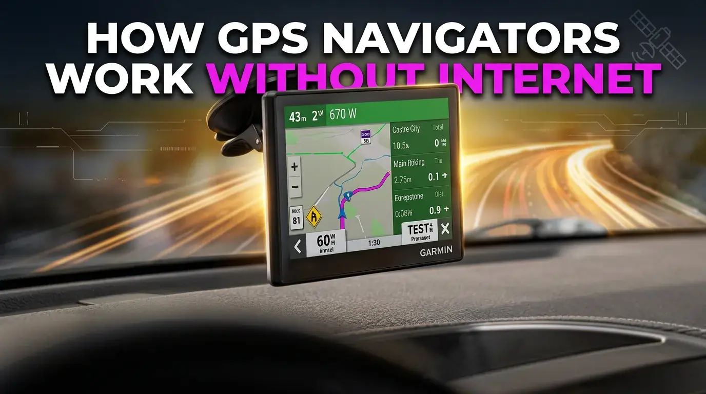
Dedicated GPS navigators like the Garmin Drive™ 53 come with maps preloaded on internal storage, which is why they work fully offline.
Smartphones typically download map data on-demand, which requires internet.
Step 2: Identify Your Device Type
Before choosing a device, see how it actually performs in real-world driving conditions. Our detailed Garmin Drive 53 hands-on review uncovers strengths and limitations most buyers overlook.
Dedicated GPS Navigators (e.g., Garmin Drive™ 53):
- Store maps internally (8-16GB typical)
- Work completely offline after setup
- Include points of interest (POIs) database
- Update maps via computer periodically
Smartphone GPS Apps:
- Most require data for maps
- Some offer offline download features
- Quality varies significantly between apps
Step 3: Prepare for Offline Navigation Before You Travel
For iPhone Users:
- Download Google Maps or Apple Maps offline areas
- Go to Settings → Privacy → Location Services → ensure GPS is enabled
- Download maps over WiFi before your trip
For Android Users:
- Open Google Maps → tap your profile → Offline Maps
- Select your route area and download
- Ensure Location is set to “High Accuracy” for best results
For Dedicated GPS Devices:
- Update maps before your trip using Garmin Express™
- Plan your route while you have internet (for live traffic)
- The device will continue navigating offline
Pro Tip: Download maps for an area larger than you think you’ll need. A 2-hour detour can take you outside your downloaded zone.
Step 4: Test Your Setup Before You Need It
Before traveling to a dead zone:
- Enable airplane mode on your phone
- Open your navigation app
- Verify your location appears on the downloaded map
- Start a test route to confirm turn-by-turn works
This 5-minute test can prevent hours of frustration later.
Multiple Methods for Offline GPS Navigation
Trying to decide between models? This expert Garmin Drive 53 vs DriveSmart 66 comparison highlights key differences that could completely change your buying decision.
Method 1: Dedicated GPS Navigator (Most Reliable)
Best for: Frequent travelers, rural drivers, those who want simplicity
Devices like the Garmin Drive™ 53 offer:
- Preloaded maps of North America
- No data usage ever
- High-resolution 5-inch touchscreen
- Driver alerts for curves, speed changes, and more
- No monthly fees after purchase
Pros:
- Works 100% offline, always
- No battery drain from cellular searching
- Designed for driving (larger screen, glove-friendly)
- No notifications to distract you
Cons:
- Requires periodic map updates via computer
- Additional device to carry
- Less current POI data than apps
Real User Insight: A reviewer on a Best Buy forum noted that dedicated GPS devices are “essential for anyone who regularly drives through areas where ‘No Service’ is common on their phone.”
Method 2: Smartphone with Offline Maps (Budget-Friendly)
Best for: Occasional travelers, budget-conscious users
Google Maps Offline:
- Free to use
- Download areas up to 250MB each
- Expires after 30 days (auto-updates with WiFi)
- Turn-by-turn works offline for driving
HERE WeGo:
- Excellent for international travel
- Downloads maps for 100+ countries
- Works well on both Android and iPhone
- No account required
Pros:
- No additional device cost
- You already carry your phone
- Multiple app options
Cons:
- Uses phone battery faster
- Screen is smaller
- Incoming calls disrupt navigation
- Maps expire and need refreshing
Method 3: Hybrid Approach (Maximum Flexibility)
Best for: Tech-savvy users who want backup options
Combine both methods:
- Use smartphone apps for urban driving with live traffic
- Keep a dedicated GPS for rural/offline areas
- Use phone for finding restaurants and reviews
- Use dedicated GPS for reliable turn-by-turn
Cost-Benefit Analysis:
| Approach | Initial Cost | Ongoing Cost | Reliability |
| Dedicated GPS | $150-$300 | Free updates | Highest |
| Smartphone Only | $0 | Data usage | Medium |
| Hybrid | $150-$300 + data | Data + updates | Highest |
Common Mistakes That Leave You Lost
Already own one but facing issues on the road? This practical Garmin Drive 53 troubleshooting guide reveals quick fixes that can save you from frustrating navigation failures.
Mistake 1: Assuming “GPS” Means “Navigation”
The error: Thinking GPS coordinates automatically give you directions.
Reality: GPS tells you WHERE you are. Navigation requires map data. Without downloaded maps, you’ll see your blue dot on a blank screen.
Fix: Always download your route area before losing connectivity.
Mistake 2: Not Testing Offline Mode
The error: Trusting that your setup will work without verifying.
Reality: Many users discover their “offline” maps didn’t download properly only after they’re already lost.
Fix: Test in airplane mode before every trip.
Mistake 3: Relying Solely on Cell Tower Triangulation
The error: Not enabling actual GPS on your phone.
Reality: Some phones default to “Battery Saving” location mode, which uses WiFi and cell towers instead of GPS satellites. This fails in rural areas.
Fix (Android): Settings → Location → Mode → High Accuracy
Fix (iPhone): Settings → Privacy → Location Services → ensure enabled
Mistake 4: Ignoring Map Expiration Dates
The error: Downloading offline maps once and forgetting about them.
Reality: Google Maps offline areas expire after 30 days. Apple Maps offline downloads work differently but still require periodic updates.
Fix: Set a calendar reminder to update offline maps monthly.
Mistake 5: Underestimating Storage Requirements
The error: Downloading too small an area to save space.
Reality: GPS maps for a single state can range from 500MB to 2GB. A cross-country trip needs substantial storage.
Fix: Check available storage before downloading. Consider a device like the Garmin Drive™ 53 with dedicated map storage.
Hidden Hacks: Efficiency Tips Most Guides Miss
Hack 1: Cache Your Route While Connected
Even without official offline downloads, many apps cache your planned route.
How to exploit this:
- Plan your complete route with WiFi
- Let the app load all turn-by-turn data
- DON’T close the app
- Your route will often work even without signal
This isn’t guaranteed, but works surprisingly often.
Hack 2: Use “Breadcrumb” Mode
If you’re truly lost without any maps:
- Note your starting coordinates
- Enable location tracking
- The GPS will record your path as a line
- Follow your “breadcrumb trail” back to civilization
This works on most GPS apps and dedicated devices.
Hack 3: Download Satellite Imagery Separately
Apps like Gaia GPS and onX Offroad let you download satellite imagery and topographic maps for true offline backcountry navigation.
Why this matters: Standard road maps don’t show forest service roads, fire roads, or informal routes that might save you in remote areas.
Hack 4: Carry a Power Bank
GPS chips consume significant battery—especially when searching for signal in remote areas.
Recommended capacity: 10,000mAh minimum for a full day of navigation.
Hack 5: Pre-Search Your Destinations
Before losing internet:
- Search for your destination in your navigation app
- “Pin” or “Save” the location
- The app will remember the coordinates
This eliminates the need for internet-based business searches.
Essential Tools and Accessories for Reliable Offline GPS
Primary Device: Garmin Drive™ 53 GPS Navigator
For users serious about offline navigation, a dedicated device offers significant advantages.
Key Features:
- 5-inch high-resolution touchscreen with pinch-to-zoom
- Preloaded maps of North America (no internet needed)
- Driver alerts for speed changes, curves, and wrong-way warnings
- Real Directions™ with landmarks (“turn right after the pharmacy”)
- Up Ahead feature shows food, fuel, and rest stops on your route
- Tripadvisor integration for hotel and restaurant ratings
Why it’s worth considering: Unlike phones, this device won’t run out of data, won’t interrupt you with notifications, and is designed specifically for driving. The included suction cup mount and power cable make it ready to use out of the box.
Essential Accessories
1. Garmin BC™ 40/50 Wireless Backup Camera
Compatible with the Drive™ 53, this wireless camera pairs with your GPS to show what’s behind you—essential for safe maneuvering in unfamiliar areas.
2. Hard Carrying Case (RAIALL or similar)
Protects the glass screen from scratches and dust when stored. A small investment ($15-$25) that extends device life significantly.
3. Micro-USB Cable
Required for connecting to a computer and updating maps via Garmin Express™. Map updates are free for the life of the device.
4. Dual USB Car Charger
Lets you power both your GPS and phone simultaneously—critical for long trips.
5. Portable Power Bank
Essential backup for powering devices if your car’s 12V outlet fails or you need to navigate on foot.
Alternative Navigation Apps
For those preferring smartphone navigation:
| App | Offline Quality | Best For | Cost |
| Google Maps | Good (30-day limit) | General use | Free |
| HERE WeGo | Excellent | International | Free |
| Sygic | Very Good | HUD mode, dashcam | Freemium |
| Gaia GPS | Excellent | Off-road, hiking | $36/year |
| CoPilot | Excellent | Truckers, RVs | $15-$30/year |
Before vs. After: Realistic Expectations
Curious how accurate GPS really is in extreme conditions? Our Garmin Drive 53 accuracy test results reveal surprising real-world performance you won’t see in product specs.
What Changes When You Understand Offline GPS
Before this knowledge:
- Panic when you see “No Service”
- Uncertainty about whether you’ll find your destination
- Reluctance to travel through remote areas
- Expensive data overages from roaming
- Dead phone battery from searching for signal
After implementing these methods:
- Confidence traveling anywhere
- Navigation that works in any condition
- No surprise data charges
- Preserved phone battery
- Backup systems in place
Real User Results
A truck driver on a popular forum shared: “After switching to a dedicated GPS unit, I went from getting lost twice a month to zero incidents in the past year. The upfront cost paid for itself in avoided delays within the first month.”
Another user noted: “I downloaded Google Maps offline for a trip to Wyoming. Worked perfectly through 200 miles of no cell service. The key was downloading a bigger area than I thought I needed.”
FAQs: Your Offline GPS Questions Answered
Can I use GPS navigation without internet?
Yes, GPS navigation works without internet if you have downloaded maps. The GPS satellite system is independent of internet infrastructure. Dedicated GPS navigators come with preloaded maps, while smartphone apps require you to download offline maps in advance.
How does GPS work in a car without internet?
Car GPS navigators store maps on internal storage. The GPS receiver communicates with satellites to determine your position, then displays that position on the stored map data. No internet connection is required for this process—only for live features like traffic updates.
Do GPS trackers need a SIM card?
It depends on the type. Passive GPS trackers record location data internally and don’t need SIM cards. Real-time GPS trackers transmit your location to a monitoring service, which does require a SIM card and cellular connection. Dedicated navigation devices like the Garmin Drive™ 53 don’t need SIM cards.
Can my location be tracked if my internet is off?
Yes, your phone can still be tracked via GPS even with internet off. GPS operates independently. However, for someone to remotely view your location, they would need your phone to transmit that data—which requires internet or cellular connection. Live location sharing on WhatsApp, for example, won’t work without internet.
Does GPS work without data on iPhone?
Yes, iPhones have built-in GPS receivers that work without data. However, you need offline maps to see your location displayed. Apple Maps and Google Maps both offer offline download options. For turn-by-turn directions without data, download your route area before losing connectivity.
Does GPS work without data on Android?
Yes, Android phones have standalone GPS chips that function without data. For navigation without internet, download offline maps through Google Maps or third-party apps like HERE WeGo. Enable “High Accuracy” location mode in settings for best GPS performance.
Does Google Maps GPS work without internet?
Google Maps GPS works without internet if you’ve downloaded offline maps. The GPS chip determines your location, and the app displays it on downloaded map data. However, you cannot search for new destinations, get live traffic, or access business information without internet.
Does a phone need a SIM card to use GPS?
No, a phone does not need a SIM card to use GPS. The GPS receiver works independently of cellular service. You can use GPS navigation with WiFi-only devices or phones in airplane mode—provided you have downloaded offline maps.
Is there a monthly fee for a GPS tracker?
Dedicated GPS navigators (like Garmin Drive™ 53): No monthly fee—maps update for free.
Real-time GPS tracking devices: Yes, typically $15-$50/month for cellular connectivity and monitoring services.
Smartphone apps: Generally free, but may require data plan for live features.
How do cars get data for navigation?
Car navigation systems receive data in three ways:
GPS satellites – Position coordinates (free, always available)
Preloaded maps – Stored on internal hard drive or SD card
Cellular data – For live traffic, search, and updates (requires subscription on some vehicles)
Final Takeaway: Never Get Lost Again
Understanding how GPS navigators work without internet transforms how you travel. The key insights are:
- GPS satellites work independently of the internet – your position is always determinable
- Map data is what requires connectivity – download before you travel
- Dedicated GPS devices like the Garmin Drive™ 53 offer the most reliable offline experience
- Smartphone apps can work offline – but require preparation
- Testing your setup before you need it prevents frustration
Whether you choose a dedicated GPS navigator, smartphone apps, or a hybrid approach, the preparation you do before losing connectivity determines whether offline GPS saves your trip or leaves you stranded.
GPS technology was designed for a world before ubiquitous internet. With the right knowledge and preparation, it still works exactly as intended—anywhere on Earth, no connection required.
Ready for reliable offline navigation? Consider whether a dedicated GPS device, smartphone app downloads, or both would best serve your travel needs. The peace of mind from knowing you can navigate anywhere is worth the small investment in preparation.